This is the page of our new project “Transforming fishing vessels into stewards of marine biodiversity” (SeaWatch)
SEAWATCH is an international research project that transforms fishing vessels into a global network of biodiversity sentinels. It was funded under the Biodiversa Joint Research Call 2024-2025 “Biodiversity and Transformative Change (BiodivTransform)” call and officially began on 2 March 2026.
Three research institutes and WWF are partners in the project:


Why SEAWATCH matters
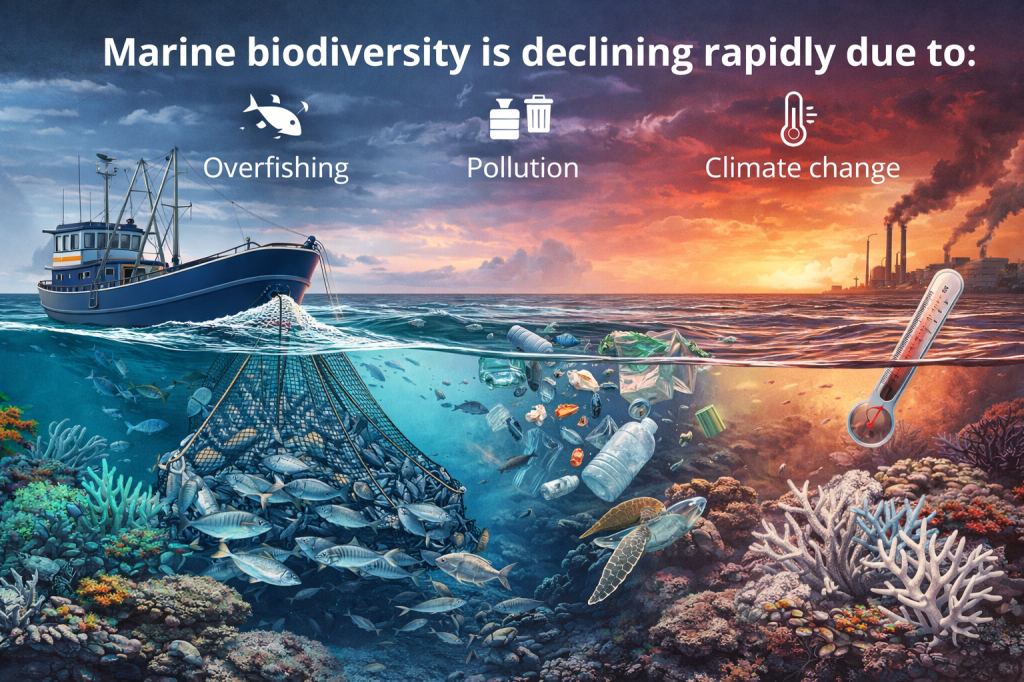
Marine biodiversity is declining rapidly due to overfishing, pollution and climate change. We urgently need to enhance our ability to identify biodiversity hotspots and how ecosystems are changing.
However, traditional monitoring approaches are:
- expensive
- spatially limited
- too slow to support timely management decisions.
SEAWATCH addresses this challenge by leveraging an underutilised resource: the global fishing fleet. Fishing vessels operate across vast marine areas every day and can become mobile platforms for biodiversity observation, dramatically increasing the spatial and temporal coverage of marine monitoring.
By combining environmental DNA (eDNA), satellite data and artificial intelligence, the project aims to revolutionise how we monitor marine biodiversity and support ocean conservation. The project introduces a new paradigm: fishers as active partners in biodiversity monitoring, generating large-scale ecological data that can inform marine management and conservation policies.
A new tool: the metaprobe
At the core of SEAWATCH is a simple but powerful innovation: the metaprobe.
This small device is placed inside fishing gear during normal operations and passively collects environmental DNA (eDNA) from the surrounding water and seafloor environment.
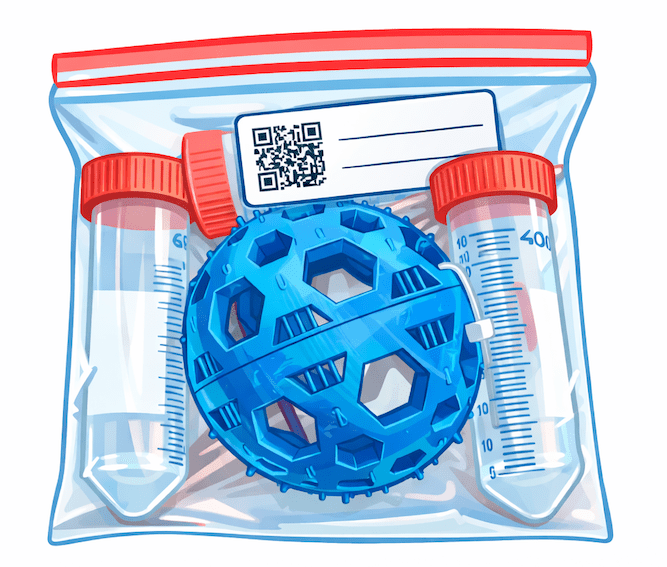
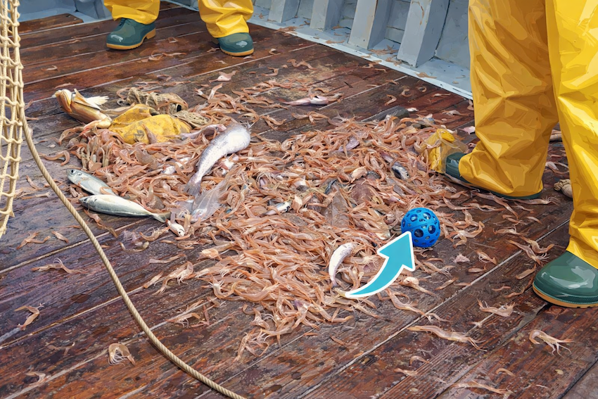

Environmental DNA metabarcoding allows scientists to identify many species simultaneously from a single sample, providing a rapid and non-invasive method for assessing marine biodiversity.
By deploying metaprobes on fishing vessels, SeaWatch can collect biodiversity information across large marine areas at very low cost and high efficiency.
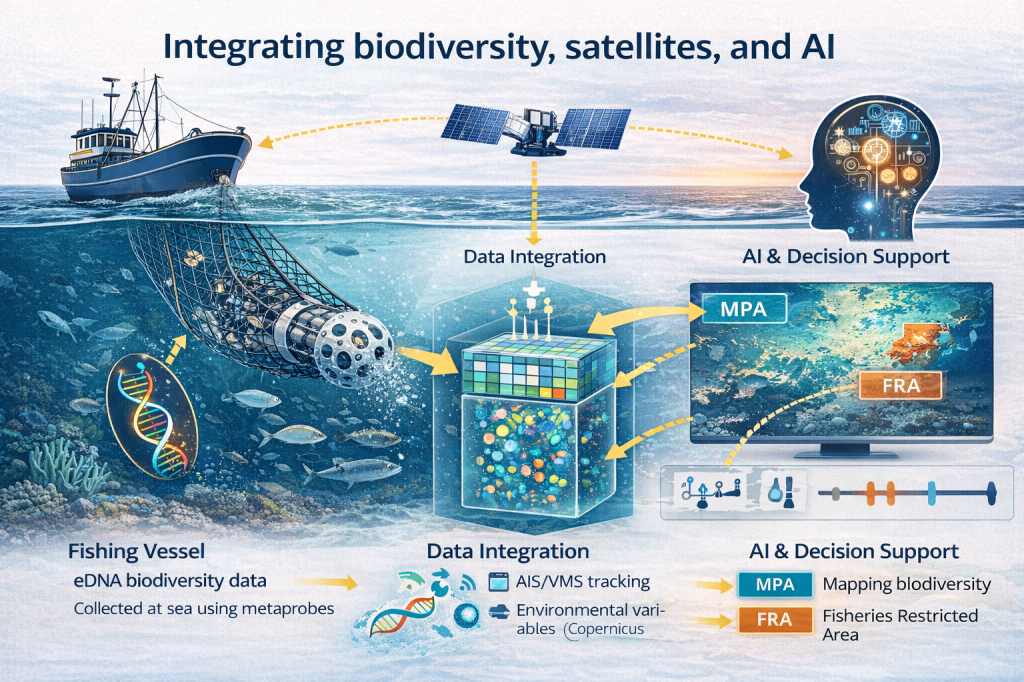
Integrating biodiversity, satellites and AI
SEAWATCH combines three powerful sources of information:
eDNA data
Satellite data
AI-based models

AI and advanced ecological models are used to:
- map biodiversity patterns
- identify biodiversity hotspots
- detect vulnerable marine ecosystems
- evaluate conservation strategies.
The ultimate goal is to support science-based decisions for marine spatial planning, including the design of Marine Protected Areas (MPAs) and Fisheries Restricted Areas (FRAs).
Case studies across three oceans
SEAWATCH will test this approach in three case study areas:
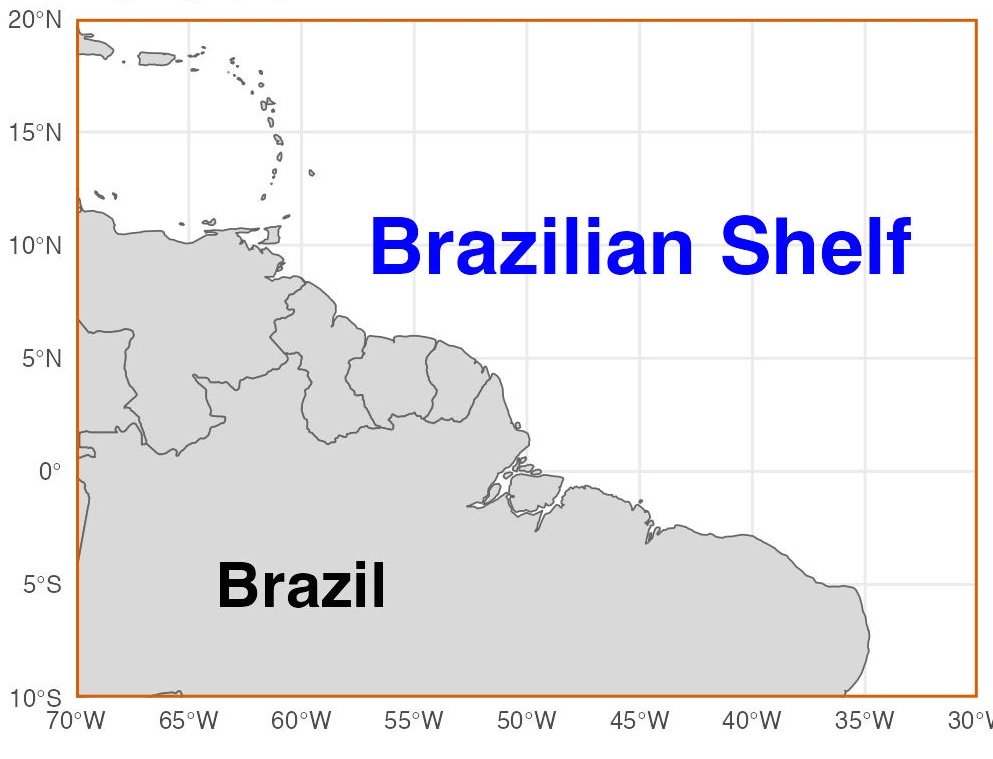
Brazilian Shelf (Southwest Atlantic)
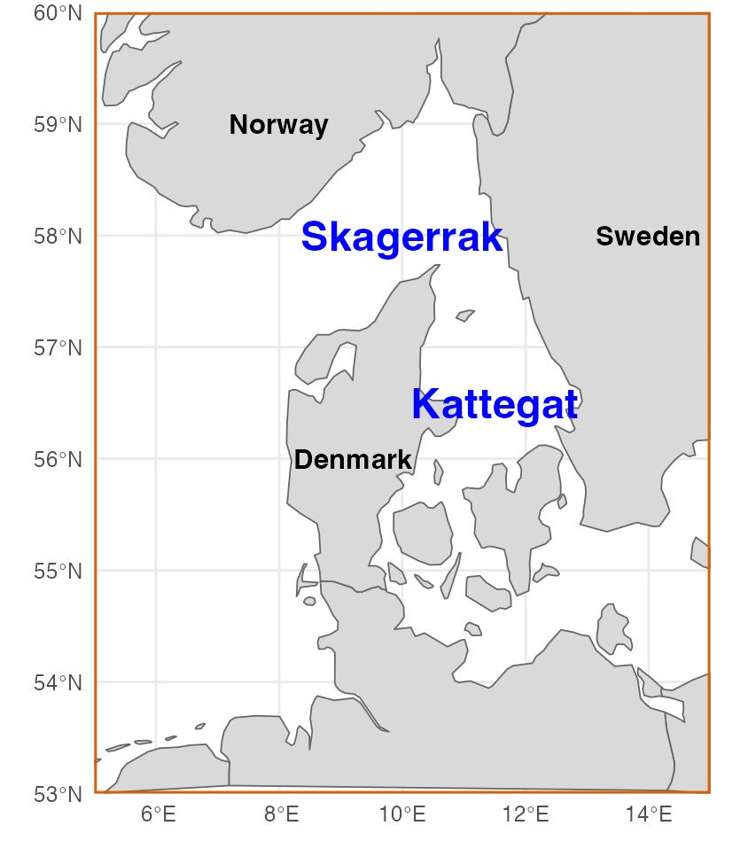
Kattegat–Skagerrak (North Sea)
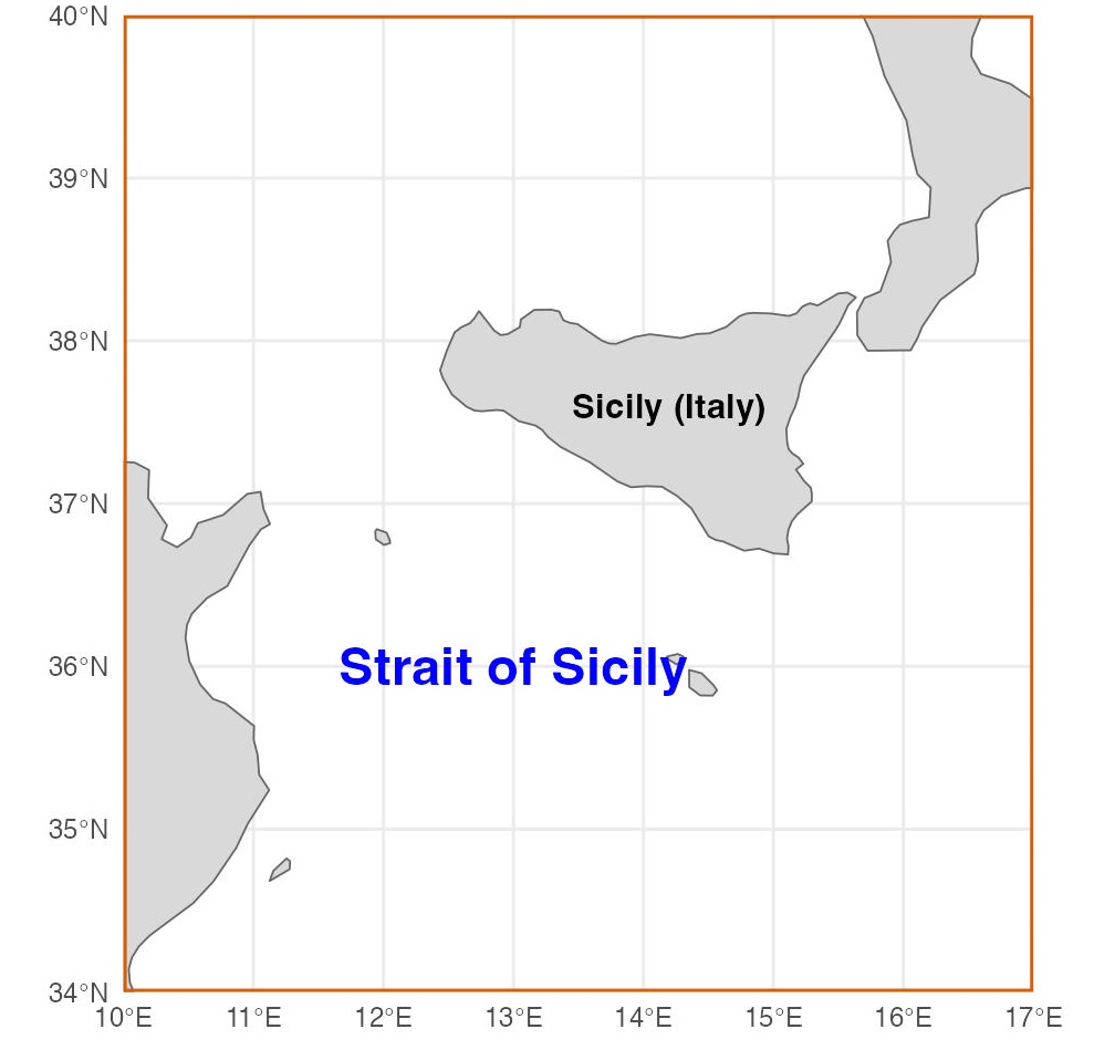
Strait of Sicily (Mediterranean Sea)
From data to decision-making
The data collected in SeaWatch will feed an interactive digital platform where scientists, fishers, managers, and stakeholders can explore biodiversity patterns and environmental indicators in near real time.
This platform will:
- visualise biodiversity maps
- share ecological indicators
- support marine management decisions
- promote open science and stakeholder engagement.
This collaborative approach strengthens the connection between science, fisheries and governance, enabling more sustainable use of marine resources.
Supporting global biodiversity goals
SeaWatch will contribute to major international policy frameworks, including:
- the EU Biodiversity Strategy for 2030
- the 30×30 global conservation target
- the Marine Strategy Framework Directive (MSFD) and the achievement of Good Environmental Status.
